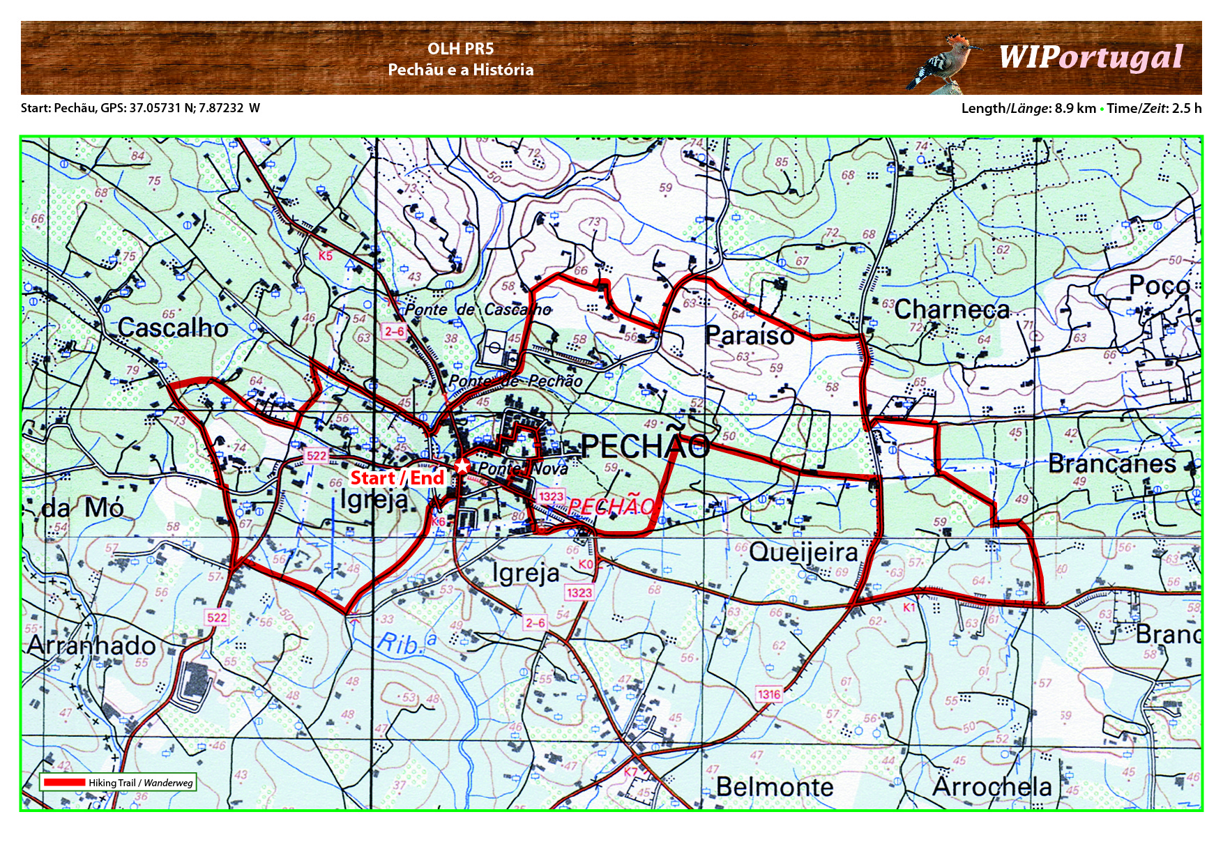
Hike OLH PR5 - Pechão e a História
Start: Pechão GPS: 37.05731 N / 7.87232 W
Length: 8.9 km
Duration: 2.5 h
Approach: From the motor way A22 Exit Estoi. In Estoi follow signs to Olhão. The road passes through Pechão.
Map: Free Map (pdf format).
Costs Map: The maps are free to download. However, we ask for a Donation of 0,50 Euro (or any higher amount!). This allows us to keep our team happy who create and update these maps.
You can donate simply with paypal: