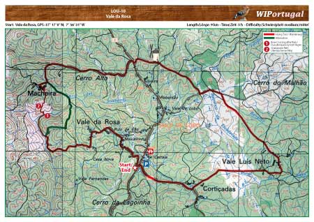
Hiking Trail Loulé PR8 - Vale da Rosa
A nice Hike between Cork-Oaks in the back-country of Loulé. Hiking Map updated May 2015.
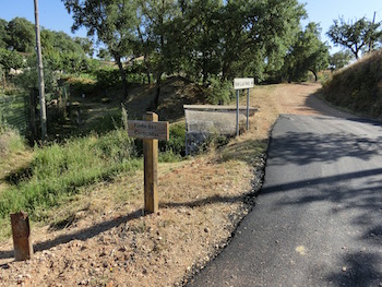
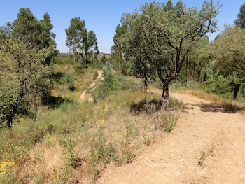
The markings are either new or non-existent. Parts of the trail are totally overgrown. An alternative trail is marked in the map.
Start: Vale da Rosa, GPS: 37° 17' 0" N / 7° 56' 31" W - Google Map
Length: 9 km; Time: 3.5 h
Access: From the Motorway A22 Exit São Bras/Faro. On the N2 towards São Brás and continue to Barranco do Velho. Continue on the N2 towards Cortelha and straight on you arrive at Vale da Rosa.
Tracks: Track as GPX file available. The Track comes together with the Map.
Map: Free Map (pdf format) and Track Download.
Costs Map and Track: The maps are free to download. However, we ask for a Donation of 0,50 Euro (or any higher amount!). This allows us to keep our team happy who create and update these maps.
You can donate simply with paypal: