Hiking Trail Silves 3 - Amorosa
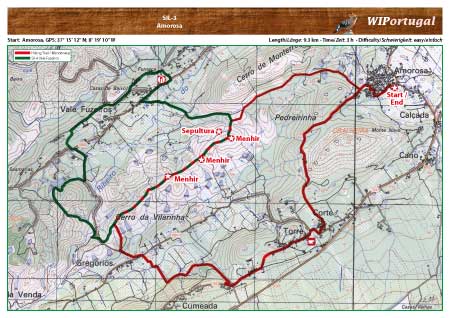
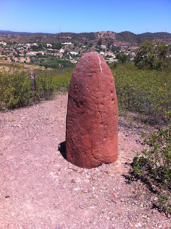
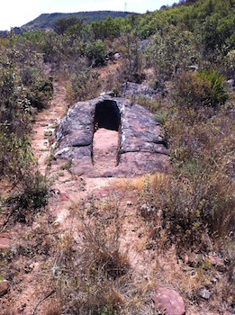
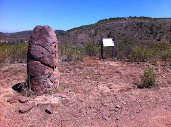
A nice Hike along the hills of Amorosa. Along the way the Menhirs of Vilarinho.
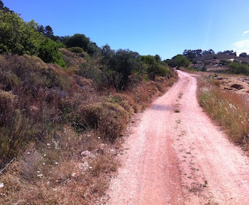
No markings along the trail.
Update of the Map: May 2015
Start: Amorosa, GPS: 37° 15' 12" N / 8° 19' 10" W - Google Map
Length: 9.3 km; Time: 3 h
Access: From the Motorway A22 Exit Silves. In Silves continue direction Messines. Follow the signs showing a left turn towards Amorosa.
Tracks: Track as GPX file available. The Track will be downloaded together with the Map.
Map: Free Map (pdf format) and Track Download.
Costs Map and Track: The maps are free to download. However, we ask for a Donation of 0,50 Euro (or any higher amount!). This allows us to keep our team happy who create and update these maps.
You can donate simply with paypal: